Final results will be announced on 5th November 2019
To view the list of shortlisted teams, please click here
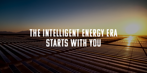
At NextEra Energy, we leverage artificial intelligence (AI) to see the invisible and nearly infinite data points that we use to generate clean, reliable, and affordable energy.
As the world’s largest generator of wind and solar energy, and an industry leader in battery storage, we will provide America with:
- 30% lower energy bills than the national average
- 50% higher reliability than the national average
- 67% reduced CO2 emissions by 2025
Today, you can help us make the next era of energy use more efficient. Together, we can ensure that energy use in our planet is efficient, reliable, and affordable for the communities that use it.
Be an energy visionary. Let us lead an intelligent energy era together.
Opportunity
We believe there is an opportunity to improve the utilization of satellite imagery in the electric utility and gas pipeline industry. The improvement in these fields can offer the most reliable and affordable utility services. Recent advances in analytics and AI have opened new possibilities for analyzing data such as combining multiple images into a larger super-resolution image to improve feature detection.
You are required to apply statistical methods to detect utility industry features in publicly available satellite imagery. While not all features will be detectable, the following features of interest are listed in order of the largest to the smallest footprint:
- Power plants
- Transmission line corridors
- Transmission line tower structures
- Gas pipeline corridors
- Distribution lines
- Distribution Poles
Additionally, some features are better visualized in invisible spectrum bands. A typical use of these improvements is to utilize the near-infrared spectrum to identify vegetation. All spectra from publicly available sources are allowed to be leveraged. Use your creativity to come up with ideas to improve maintenance, identify vegetation, respond to disasters, or another unique application.
Your tasks are as follows:
- What are your ideas on utilizing satellite imagery in electric utilities and gas pipeline spaces?
- Explain your process thoroughly—from acquiring imagery to data analysis and then to field action.
- Create a prototype of your data processing idea.
- Show how satellite imagery can be ingested and higher-resolution imagery produced.
By sharing your skills and visions with us, you are paving a way in making renewable energy more accessible for all.


